
 Arizona Edition
 Colorado Edition
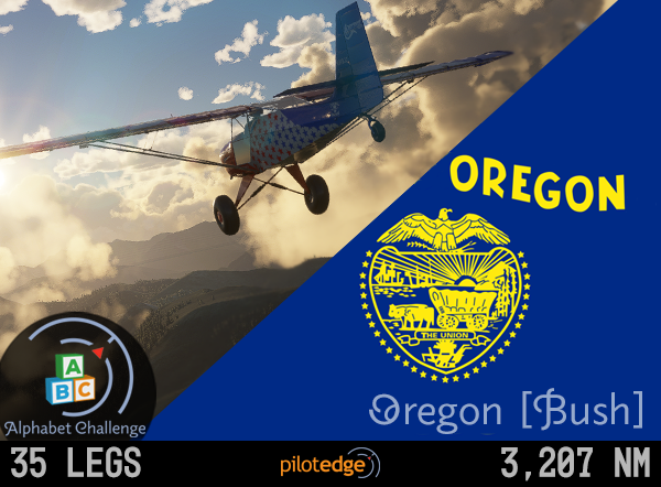 Oregon Bush Edition
 Washington Edition
 WUS Edition
 ZLA Edition
Flight Information
| DEPARTURE | |
|---|---|
| LANCASTER, CA | |
Elevation: | 2350 |
Runways: | 6/24 - 7201x150 - ASPH-G |
ATIS: | 126.3 |
Ground: | 121.7 |
Tower: | FOX TOWER 118.525 |
| DESTINATION | |
|---|---|
| , | |
Elevation: | |
TPA: | 1000 (est.) |
| 6771.6 NM | 73° True | -14° Var | 59° HDG |
| Departure ATIS: | Destination ATIS: |
|
Clearance Limit:
|
Route: | Altitude: | Expect in minutes | Frequency: | Transponder: | (7500 Hijack / 7600 Lost Comms / 7700 Emergency) |
Notes:
Data extracted from FAA Digital Chart Supplement. Effective: 0901Z Thursday, 27 JAN 2022 to 0900z Thursday, 24 MAR 2022
Current ATIS data is provided courtisy of PilotEdge.
The information contained on all pages of this website is to be used for flight simulation purposes only.
It is not intended nor should it be used for real world navigation.
Follow PilotEdge on these platforms:


